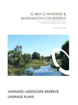
Te Ara O Wairakei Waterways / Stormwater Reserve
More information at www.palmbeachreserve.com
Wairakei Waterways Newsletter 3 Dec 2019 from TCC
Wairakei Landscape Reserve Upgrade Plans
Latest Email newsletter November 2019 & date for community meeting. We want to hear your opinions on the Waterways Project. Please click through to the Feedback Form
SCROLL DOWN FOR LATEST INFORMATION
Wairakei Stormwater Reserve
Royal Palm Beach Estate to Gravatt Rd
Over 30 years ago this area was created by the developer and in the early years was maintained by the community. It is peaceful, our only parklands in Papamoa and looks great with the openness. The TCC is proposing planting around the lake with wetland bushes. The community does not want this and the TCC is trying to force it upon the residents.
The planting and further planting of wetland bushes around this reserve in the Palm Beach area is unwanted and being
done under dubious reasoning. The majority of the residents want the planting stopped, that which was put in
removed, and the area to stay as it is.
Boffa Miskell working for the TCC have come up with a plan to change the look and fabric of this area. They say they consulted fully and there is a large list of meetings in their document. However the only meeting they had
with the residents was during a meeting of the PRRA where we were told what we were going to get and even then it was not really clear as so much information was given out in a such a short time.
All this is being driven by a flawed document subtitled “ A Comprehensive Stormwater Consent covering the Papamoa
Catchment” made in 2015.
Excerpts from Boffa Miskell report 6.1.2 Area 2a – Royal Palm Beach Estate to Gravatt Road
The existing highly manicured park environment in Area 2a is wider than in Area 1, and has visual connectivity
with the coast at Harrisons Cut. This area is dominated by exotic plants and the private gardens occasionally extend
into the reserve. The reserve has a high level of surveillance from adjacent private properties and a high proportion of
permeable fencing. Council reserve maintenance and planting is actively supplemented by neighbours.
An indigenous riparian margin and wetland planting in the ponds is absent, so there is little aquatic habitat for
fish entering the reserve from Harrisons Cut. In particular, there is no habitat for whitebait spawning. Mowing to the water’s edge reduces amenity and water quality. (there are carp in the ponds to eat the weed)
The lack of a defined pond edge, or pond edges becoming submerged when water levels are high, presents a public
safety hazard.
There is stormwater-related interpretation material in this area of the reserve but no cultural recognition
of the coastal connection or adjacent urupa. Where it runs parallel to Santa Barbara Drive, the reserve has sightlines to Papamoa Hills and Mangatawa, but no interpretation of these views.
Vegetation Management:
• Along all pond margins, short stature wetland and lake margin planting will provide
whitebait spawning areas and fish habitat, and reduce mowing impacts.
• Landward of marginal planting, a band of short amenity plants will provide an interface with mown areas.
• Planting will extend to adjacent wet areas and areas that are periodically submerged so mowing is required only on dry
grass.
Cultural Recognition:
•A cultural interpretation panel at the Harrisons Cut outlet structure can describe the glass eel migration and importance of coastal connections.
• A cultural recognition element at Papamoa Beach Road could acknowledge the connection with the urupa and
historical events in the Harrisons Cut area.
Ecology:
• Options for improving fish passage through the pond outlet structure will be investigated.
• The feasibility of daylighting the pipe connection between Papamoa Beach Road and the base of the outlet structure to
improve fish passage will be investigated.
The Tauranga City Council proposes to plant 1.8 m high flaxes and wetland bushes around the edge of the lake to a depth of 3 metres from the edge. Here come the rats!!!!


